Log in
All resources
Create a design
38,664 Free Images of 1888 Maps
maps made in the 17th century
gerard valck
maps by pieter schenk (i)
atlantis magni tomus secundus (biblioteca comunale di trento)
atlantis magni tomus tertius (biblioteca comunale di trento)
atlantis magni tomus quartus (biblioteca comunale di trento)
maps from the mechanical curator collection
fonds ancely - bibliothèque municipale de toulouse - maps
atlantis magni tomus quintus (biblioteca comunale di trento)
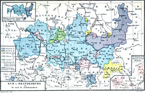
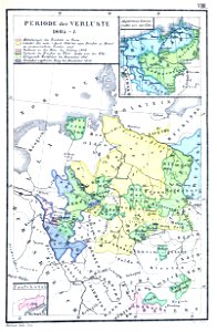
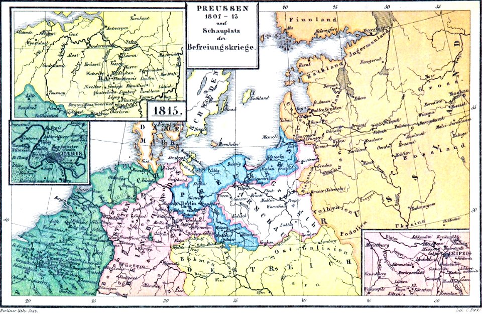
old maps of prussia
maps made in the 17th century
gerard valck
maps made in the 17th century
gerard valck
cornell: persuasive cartography: the pj mode collection
cornell university library
maps made in the 17th century
gerard valck
pictorial history of the russian war 1854-5-6 by george dodd
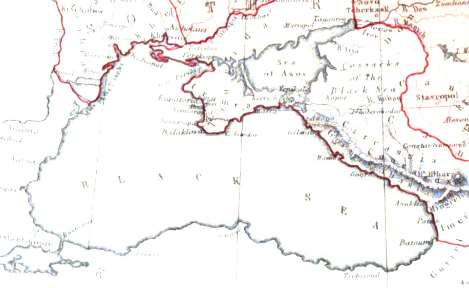
maps of circassia
maps made in the 17th century
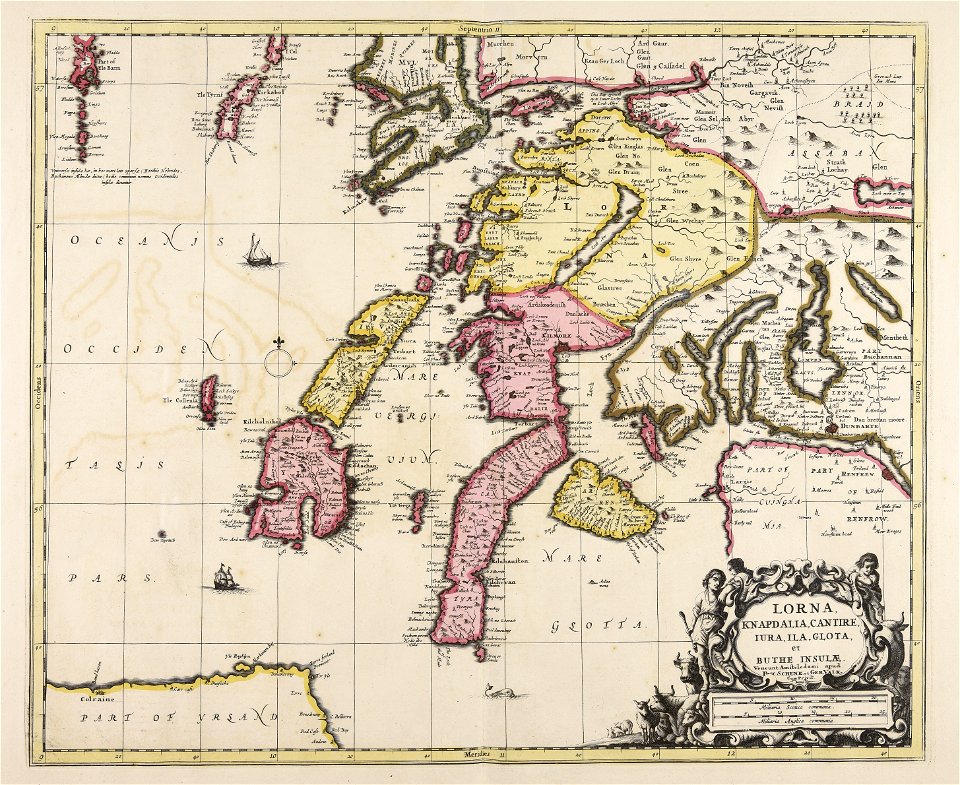
lochaber
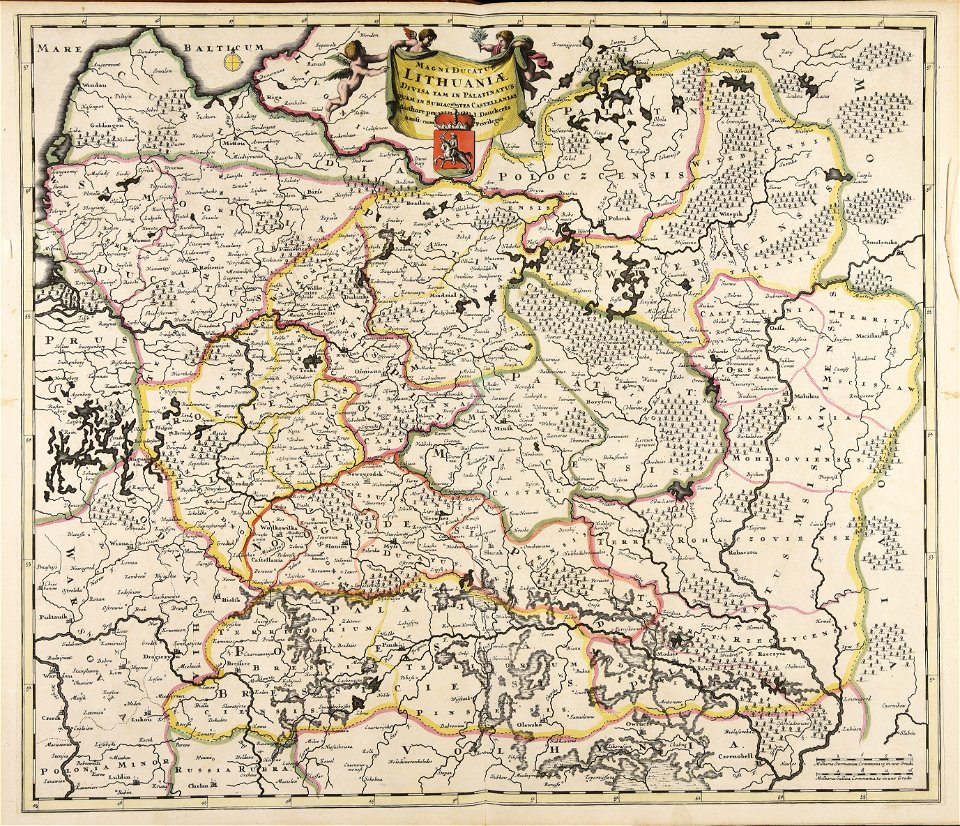
old maps of the grand duchy of lithuania
maps made in the 17th century
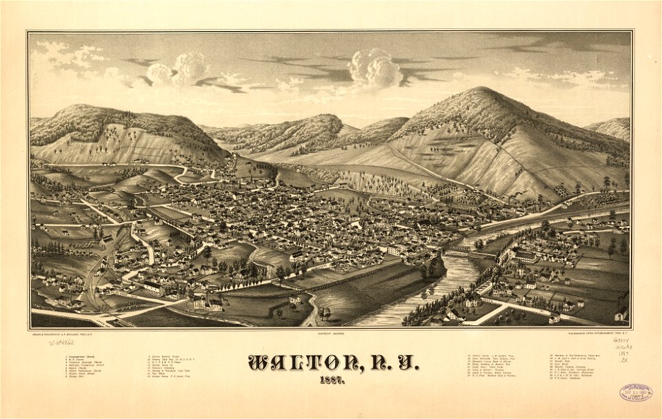
new york
walton
maps made in the 17th century
gerard valck
maps made in the 17th century
gerard valck
maps made in the 17th century
gerard valck
maps by pieter schenk (i)
gerard valck
maps made in the 17th century
gerard valck
maps made in the 17th century
gerard valck
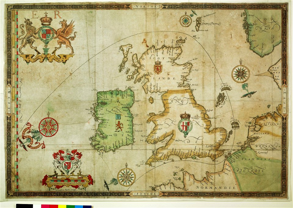
the track of the armada around britain and ireland
charts and maps of the royal museums greenwich
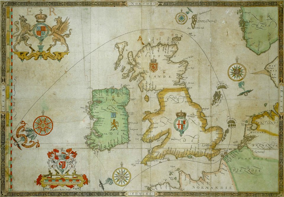
the track of the armada around britain and ireland
charts and maps of the royal museums greenwich
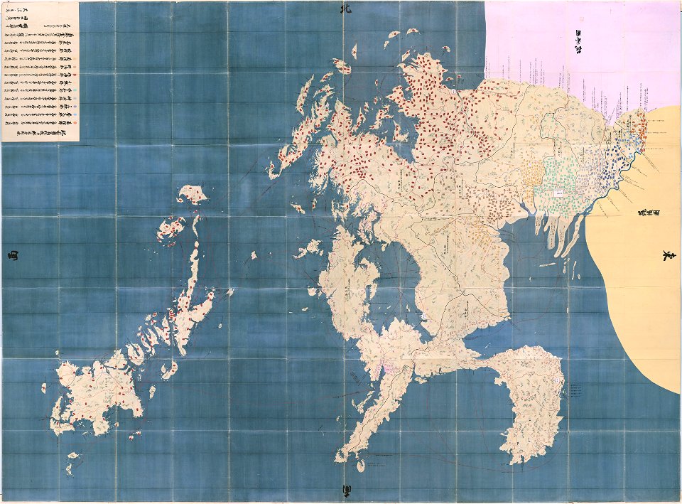
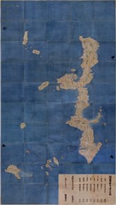
maps in the national archives of japan
hizen province
maps of the aleutian islands
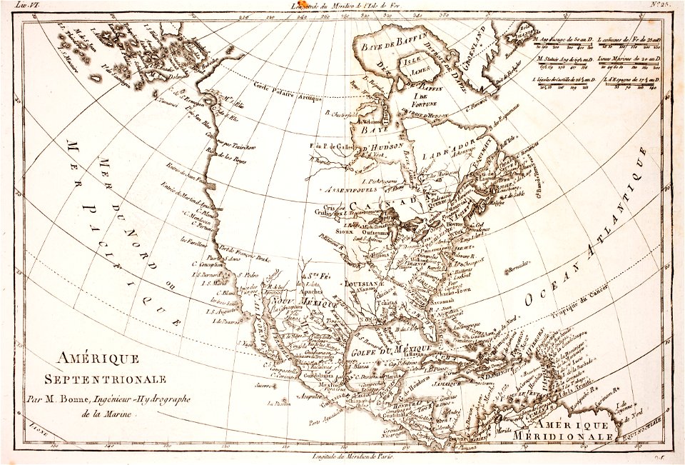
1780 maps of north america
maps made in the 17th century
gerard valck
maps made in the 17th century
gerard valck
maps made in the 17th century
gerard valck
olomouc fortress
1644
maps made in the 17th century
gerard valck
files from the bodleian libraries
maps of tartary
maps made in the 17th century
gerard valck
maps made in the 17th century
gerard valck
maps made in the 17th century
gerard valck
maps made in the 17th century
gerard valck
maps made in the 17th century
gerard valck
parklandschaft klein-glienicke
königstraße (berlin-wannsee)
maps made in the 17th century
gerard valck
maps made in the 18th century
johann baptist homann
maps made in the 17th century
gerard valck
maps made in the 17th century
gerard valck
maps made in the 17th century
gerard valck
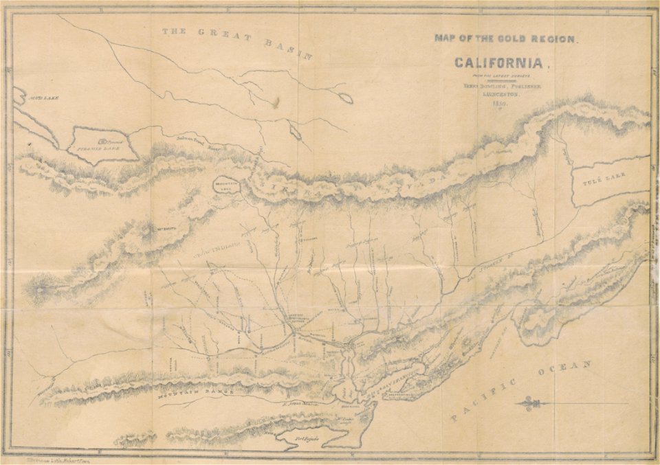
california gold rush
john sutter
paintings in the kröller-müller museum
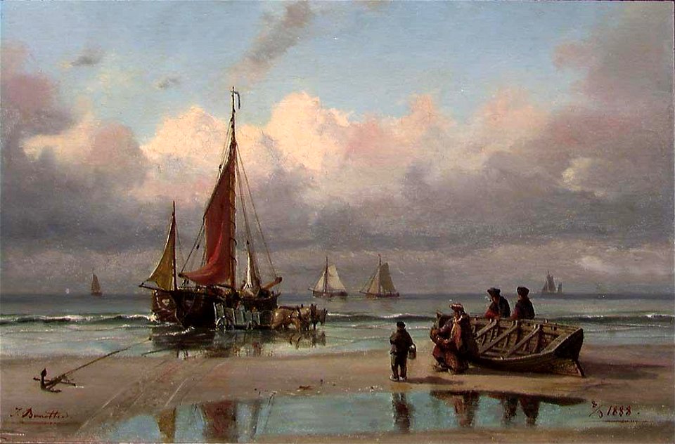
boats in france in art
19th-century paintings in the nasjonalmuseet for kunst
arkitektur og design
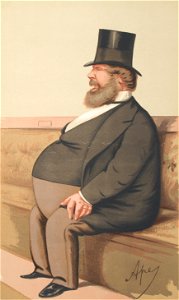
list of presidents of the institution of civil engineers
engraved portraits of men
printing
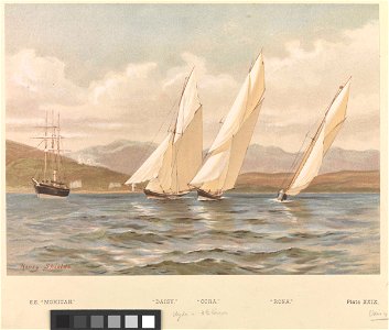
yacht
georges seurat
1888 paintings
vanity fair
1875,
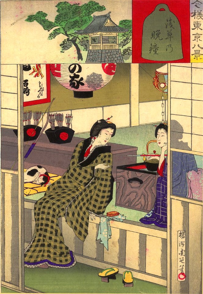
1888 in japan
asakusa
17th-century engravings
faces of men in art
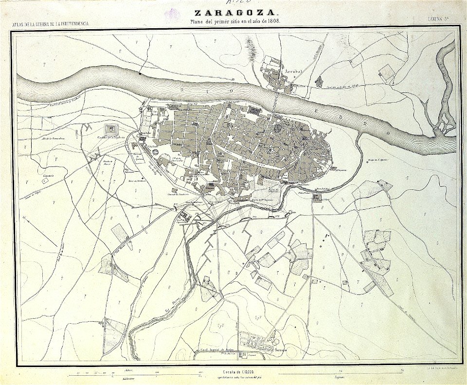
sitio de zaragoza (1808)
1868
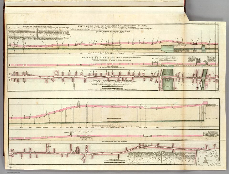
seine river in paris
old submaps of paris
maps from the mechanical curator collection
old maps of prussia
maps from the mechanical curator collection
old maps of prussia
old maps of the danube
french-language maps
19th-century satirical maps
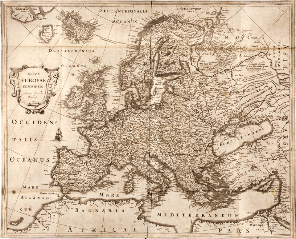
1899 maps of europe
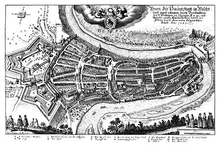
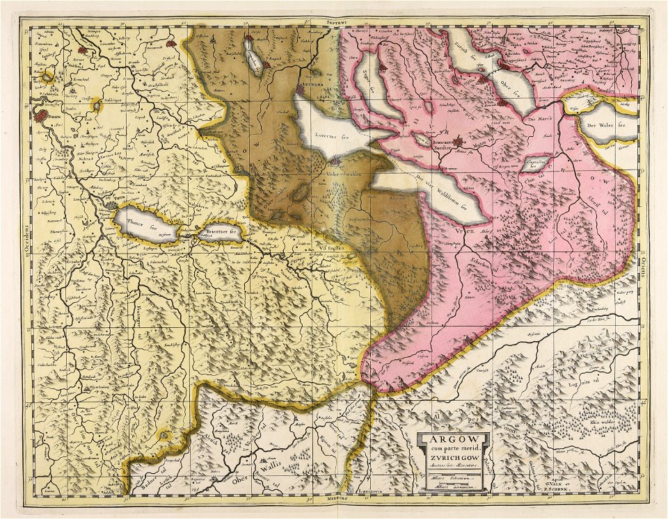
1638 in switzerland
bern
images from the new york public library
george hayward
maps from the mechanical curator collection
old maps of prussia
maps by willem and johannes blaeu
ravelins
cornell university library
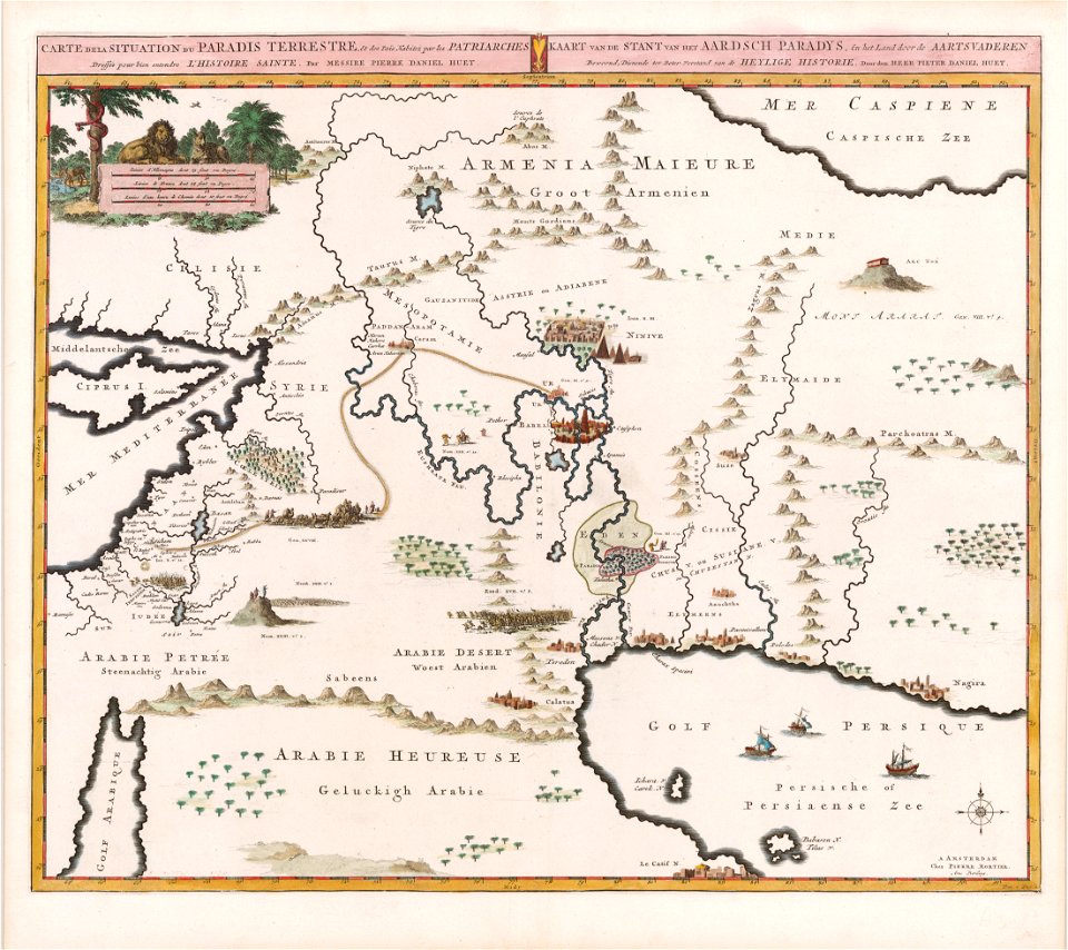
garden of eden
christopher columbus
ferdinand magellan
frédéric-auguste laguillermie
coats of arms of orléans
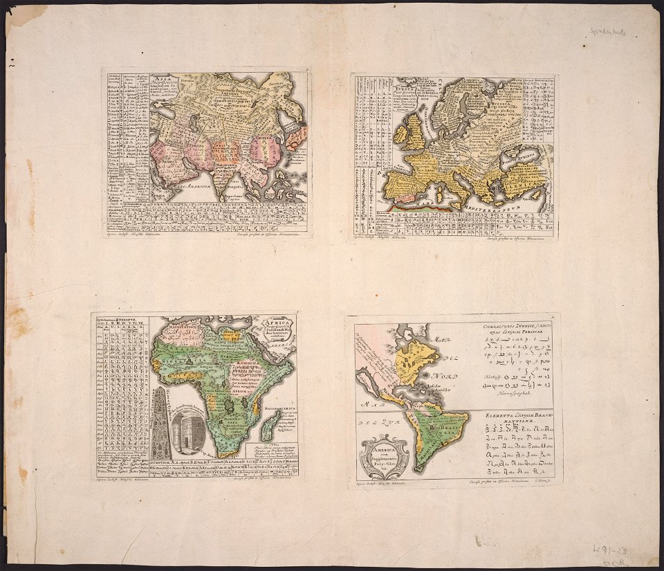
maps made in the 17th century
gerard valck
maps in the national archives of japan
genroku kuniezu
coats of arms of cities in corrèze
guillaume marie-anne brune
frédéric-auguste laguillermie
françois arago
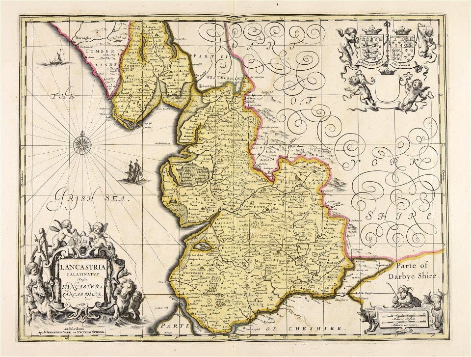
maps made in the 17th century
gerard valck
maps made in the 17th century
gerard valck
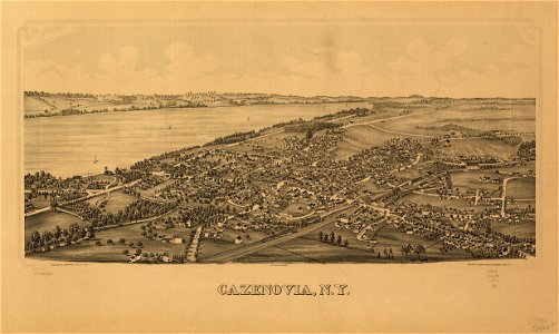
cazenovia
new york
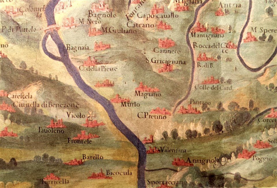
history of perugia
old maps of umbria
maps made in the 17th century
gerard valck
maps made in the 17th century
gerard valck
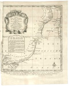
old maps of the dutch east india company - africa
1747)
prints from dankaerts historis at the peace palace library
cornelis danckerts (i)
maps made in the 17th century
gerard valck
maps by willem and johannes blaeu
maps made in the 17th century
maps made in the 17th century
gerard valck
maps with cartouches
netherlands
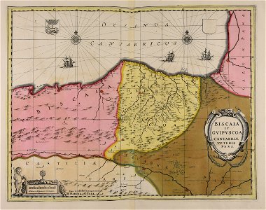
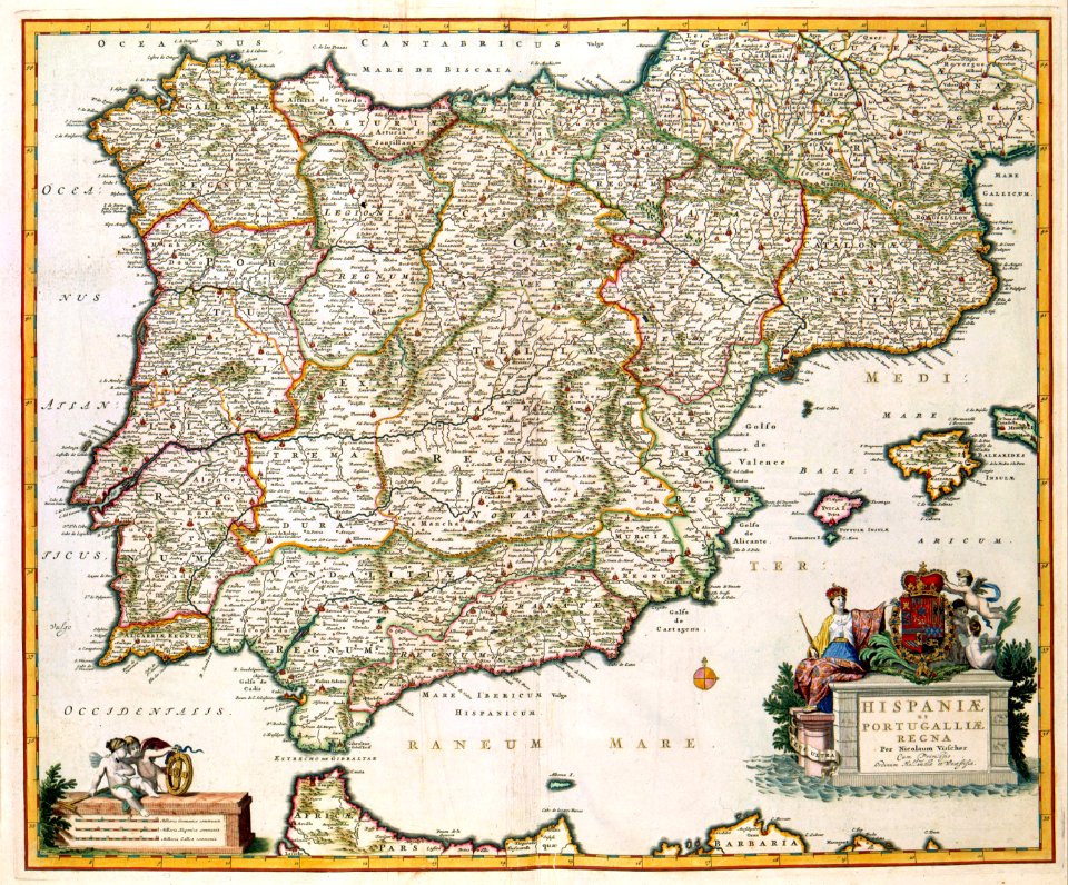
old maps of the iberian peninsula
nicolaes visscher ii
maps of the sea of marmara
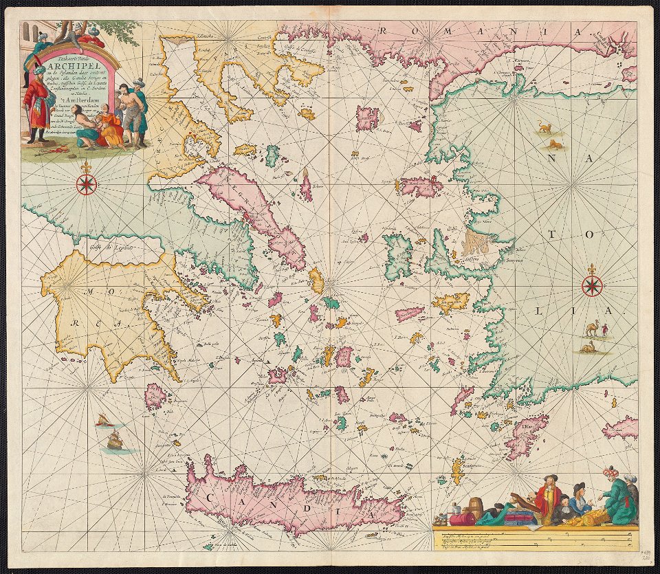
old maps of the aegean sea
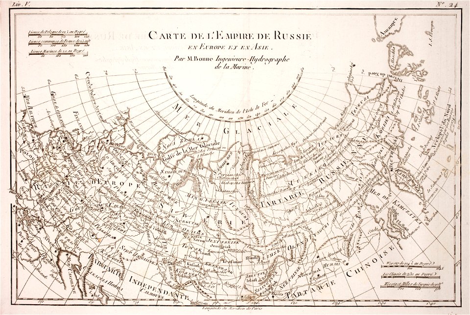
1780 maps of russia
bonne projection
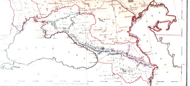
19th-century maps of the caucasus
1856 maps
maps made in the 17th century
gerard valck
maps made in the 17th century
maps by nicolaes visscher i
maps made in the 17th century
gerard valck
maps made in the 17th century
jan janssonius
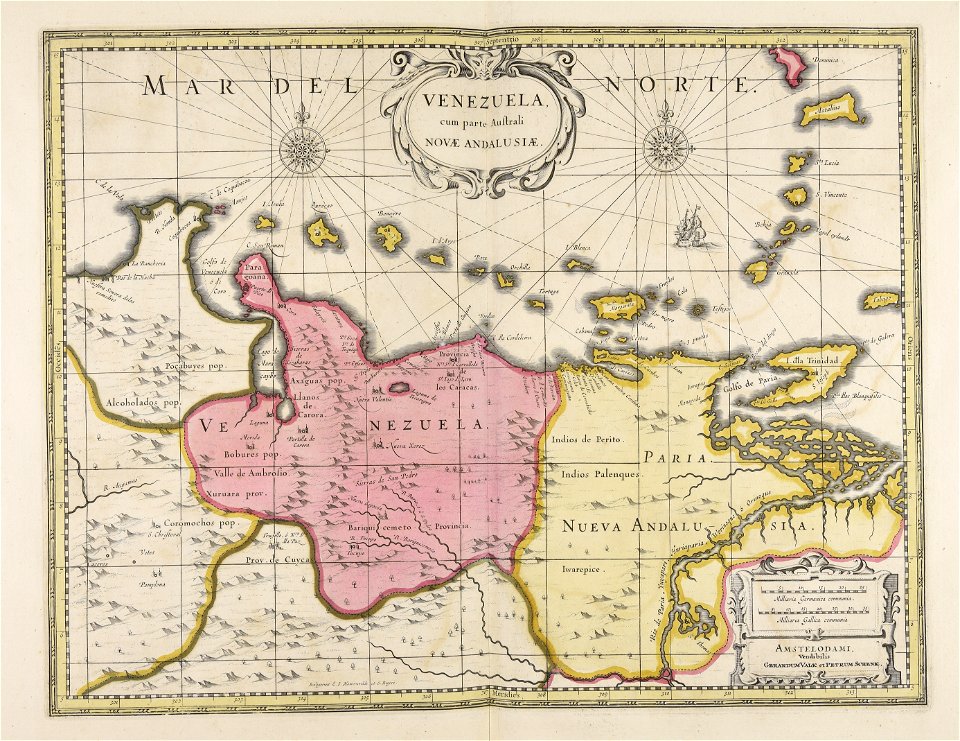
old maps of venezuela
gerard valck
maps made in the 17th century
gerard valck
historical images of pyrenees
robert batty (artist)
gerard valck
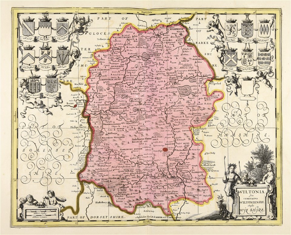
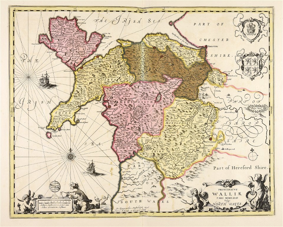
south wales
gerard valck
north wales
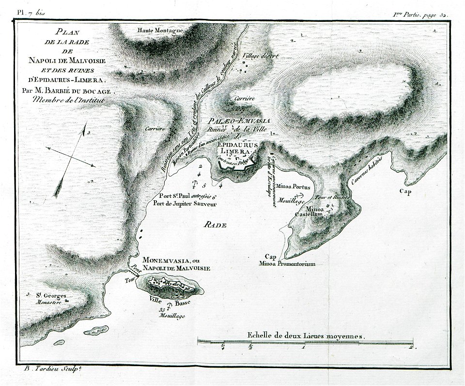
historical images of greece
1808 maps
maps by willem and johannes blaeu
maps made in the 17th century
atlantis magni tomus secundus (biblioteca comunale di trento)
maps made in the 17th century
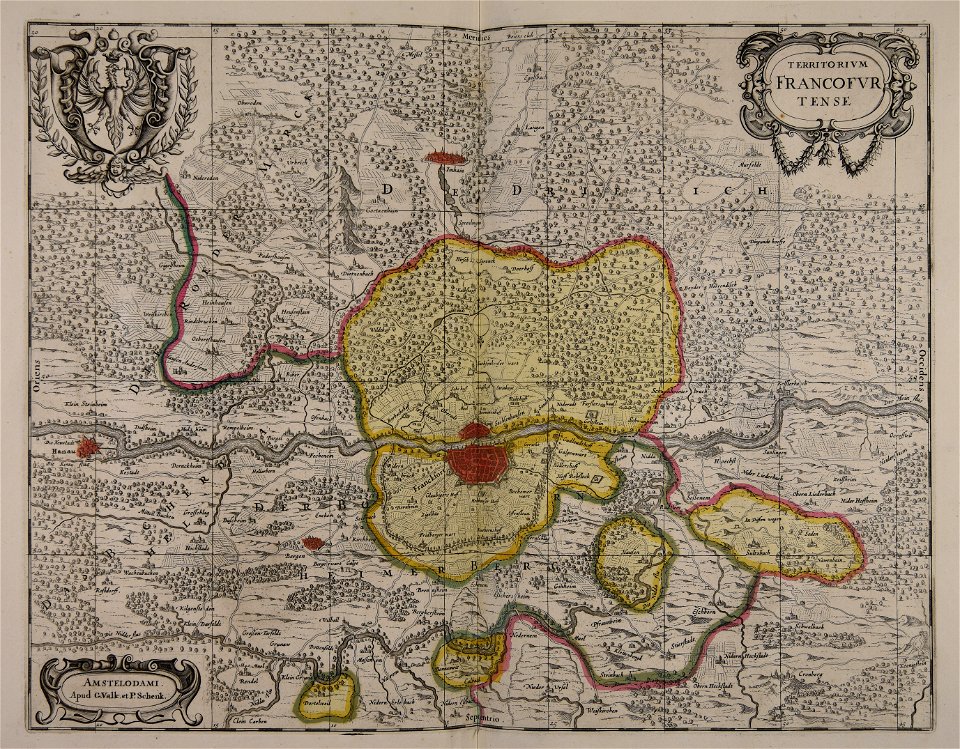
old maps of frankfurt am main
gerard valck
gerard valck
england
maps made in the 17th century
gerard valck
maps made in the 17th century
gerard valck
maps made in the 17th century
gerard valck
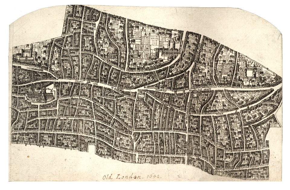
university of toronto wenceslas hollar digital collection
hollar maps and plans of london
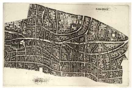
university of toronto wenceslas hollar digital collection
hollar maps and plans of london
19th-century oil portraits of sitting women at three-quarter length
women smiling in art
history of leutkirch im allgäu
schloss zeil
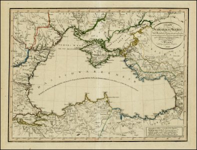
18th-century maps of the black sea
1800 maps of georgia
maps made in the 17th century
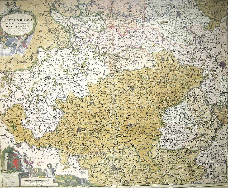
old maps of luxembourg
6101 - 6200 of 38,664
Next page
/ 387